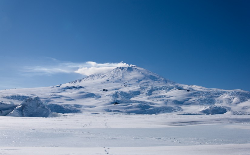
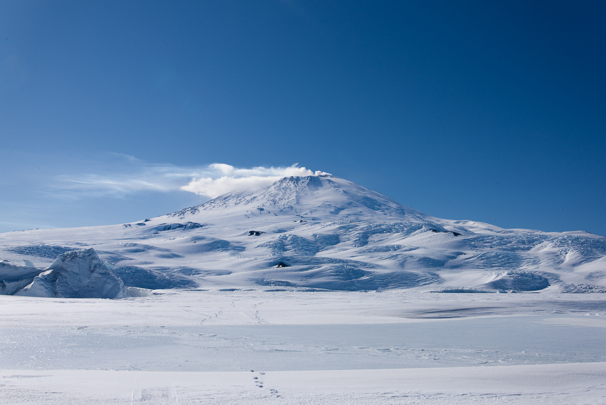
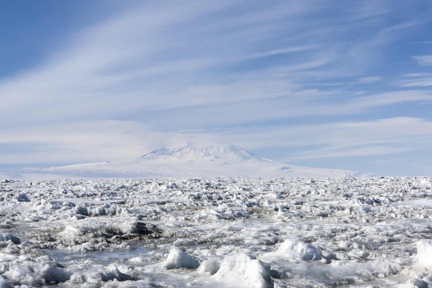
On occasion, if the wind isn’t blowing too hard, you can see the smoke rising from the volcano. This view is from the sea ice near the Dellbridge Islands. The sun threw the crevasses on the slopes into relief.
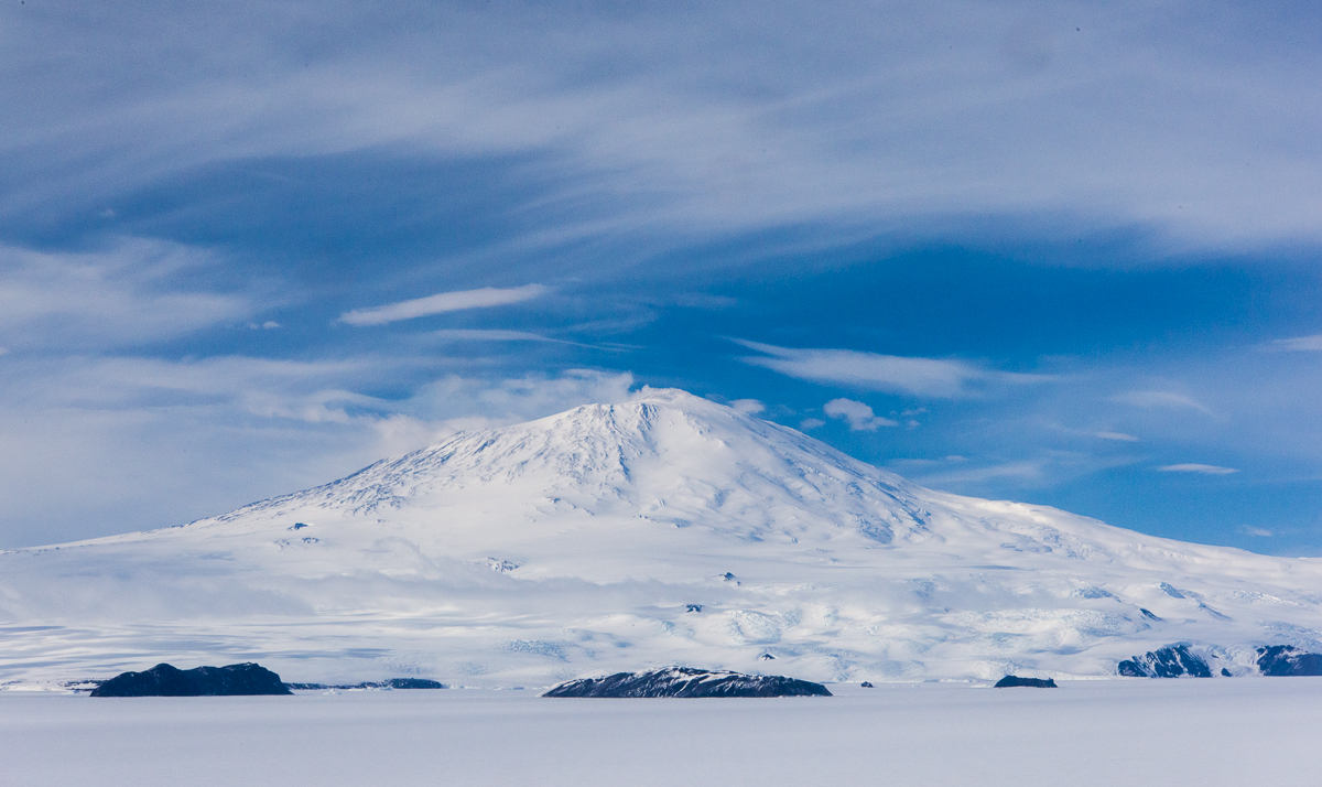
At almost 12,500 feet high, Mt. Erebus dominates the landscape of the western side of Ross Island, where I spent my time in Antarctica. It’s an active volcano, and not part of a range, so it stands apart from other mountains. Also, its western slope ends at the flat sea ice, even though its summit was about 50 miles away from New Harbor, which is on the opposite side of McMurdo Sound, it was a prominent feature of the horizon. I found myself photographing it from a variety of locations. The cap and banner cloud formation on top of Mt. Erebus featured in the last post is just one of them. I ended up with a small series of photos of its snow-covered slopes in different weather as well as different vantage points. The funny thing about Erebus is that it doesn’t look as big as it is. Distances are incredibly difficult to judge in Antarctica anyway. I kept trying to figure out what was messing with that perception. Part of it must be that there are no trees or other cues to help provide scale. And with Erebus, I think because the profile of it is rather spread out and horizontal rather than steep and vertical, you don’t realize how gigantic it is.
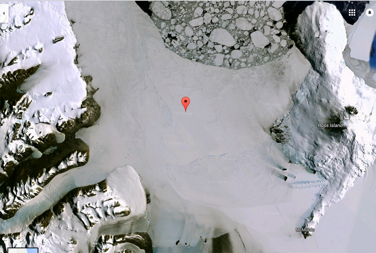
To get an idea where we’re talking about, here’s a Google Earth Map of McMurdo Sound:
Google Maps satellite view of McMurdo Sound (click to enlarge): The black spot labeled “Ross Island” on the right is the summit of Mt. Erebus. McMurdo Station is labeled below it, at the end of the peninsula. Scott Base is just around the corner from McMurdo. The Erebus glacier ice tongue is the sawtoothed shape on the sea ice and those dark specks above it are the Dellbridge Islands. Cape Evans is on the other side of the ice tongue from McMurdo Station, and Cape Royds is the larger dark area north of that. If you draw a horizontal line from the summit of Erebus, through Cape Royds and across the sound to the indentation in the dark shoreline of the Dry Valleys opposite, that’s where the New Harbor camp is.Erebus adds drama to the view from the field camp at Cape Royds, which is on top of a tall hill.Far away, across the sound from Cape Royds at New Harbor, Erebus stands out. In the foreground is multi-year sea ice.
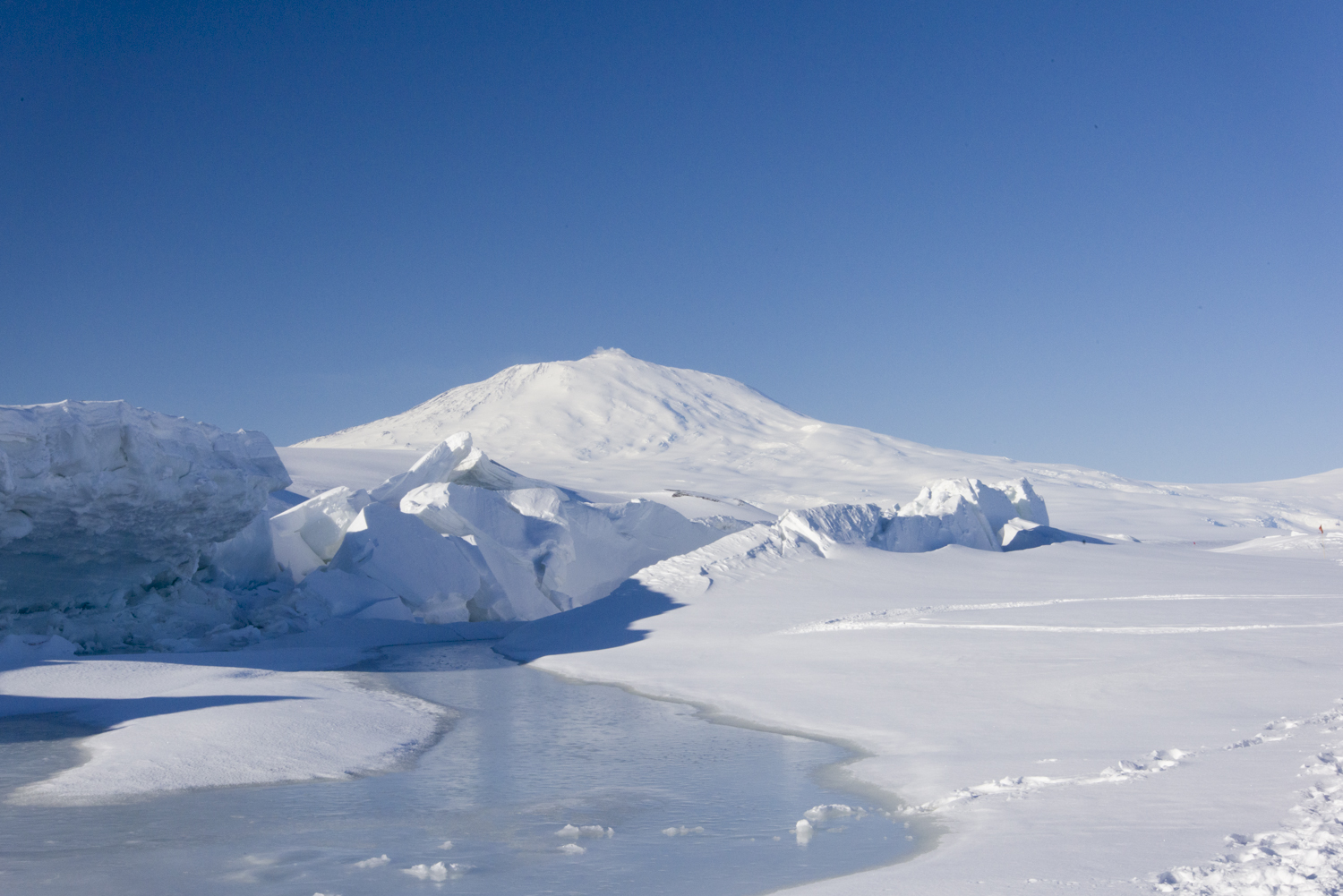
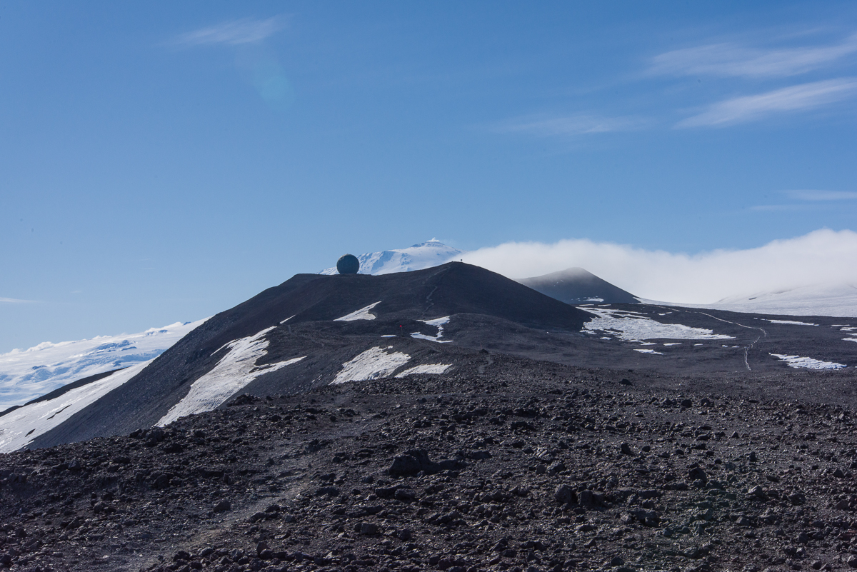
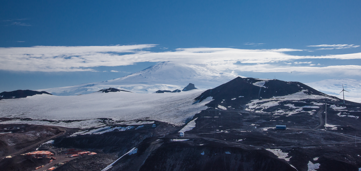
I made two different visits to the pressure ridges in the sea ice near Scott Base, which is New Zealand’s Antarctic outpost and close neighbor to McMurdo. One evening the sky was hazy.Revisiting the same site the following week, the sky was clear, the landscape a study in graphic blue and white shapes.The hills around McMurdo Station block the view of Erebus until you get up on a ridge above the base, like this one on the Hut Point trail. You can glimpse Erebus behind one of the “golf balls” as people call them — geodesic domes that house satellite dishes.
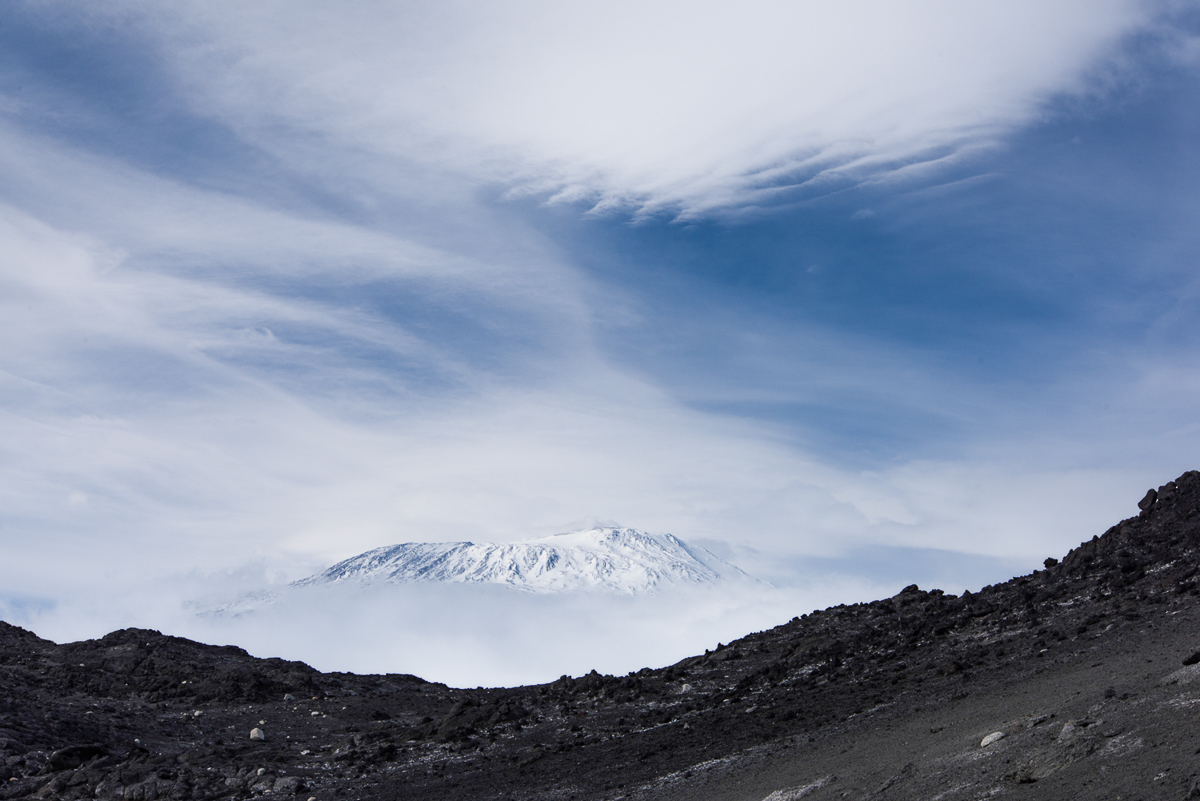
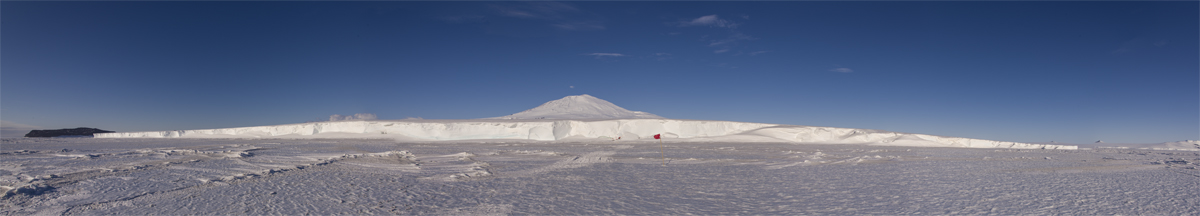
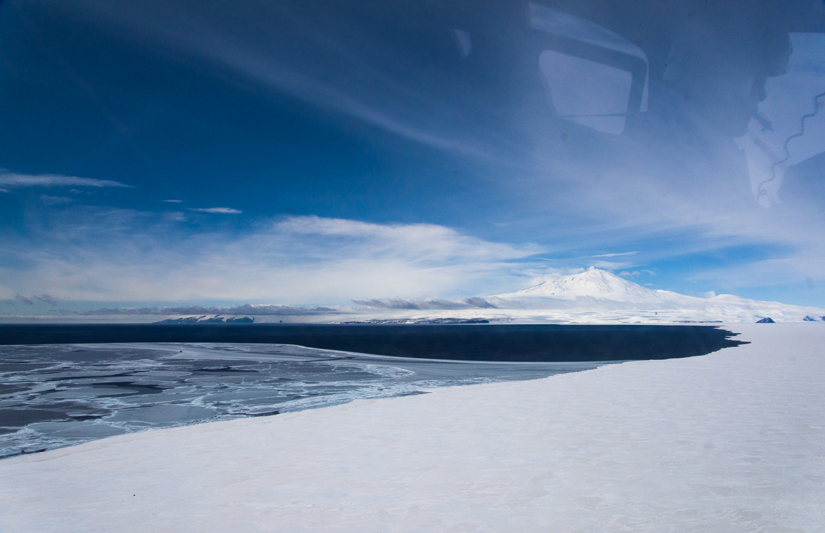
Erebus in the background of a panorama of one side of the Erebus glacier ice tongue. The red flags mark the entrance to the ice cave. The dark rock on the left is one of the Dellbridge Islands. Click to enlarge.On the flight back from New Harbor, the helo pilot showed us the sea ice edge with Erebus in the distance……and flew closer so we had a good view from the air. The Dellbridge Islands are in the foreground.One of the last days at McMurdo I climbed to the top of Observation Hill. This is the last photo I took of Erebus.

2 thoughts on “Erebus, the Mini-Series”