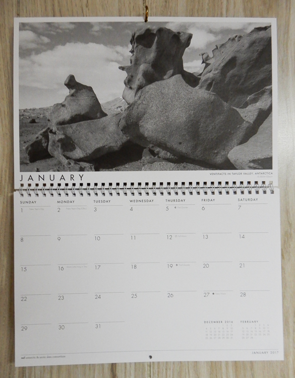
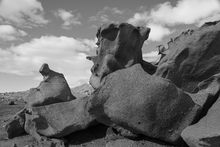
The Antarctic & Arctic Data Consortium has included two of my photos in its 2017 wall calendar (shown above and below). 7,000 calendars were printed; 3,500 were distributed at the 2016 American Geophysical Union Meeting in San Francisco. The remainder were shipped out to other organizations and collaborators.
Both of the photos were taken in the McMurdo Dry Valleys when I spent a week there in December 2015. The photo above is of a ventifact field above Lake Bonney that I called the Surrealist Sculpture Garden (more about that here). The one below is a close-up of delicate ice designs that had formed over sediment atop the frozen surface of Lake Hoare (more photos here).

The a2dc (as they render their acronym) “was initiated to provide a centralized resource for scientists to submit, use, and discover polar data. The participating organizations provide the expertise and tools to support fellow polar researchers.” When I was in Antarctica, I met staff from two of the ten organizations, UNAVCO and the Polar Geospatial Center (PGC). Both organizations had offices in the Crary Science Labs at McMurdo, where their staff provided crucial mapping and geophysical data for the scientists. The PGC is based at the University of Minnesota and specializes in aerial views, assembling detailed maps from satellite photos of remote locations and have dozens of Antarctic maps online. UNAVCO works on the ground, doing GPS surveys, terrestrial laser scanning, and other kinds of measurements. An example is this two-year study which tracked the erosion of an ice cliff in the Dry Valleys and concluded that it was melting faster than anticipated due to climate change.

