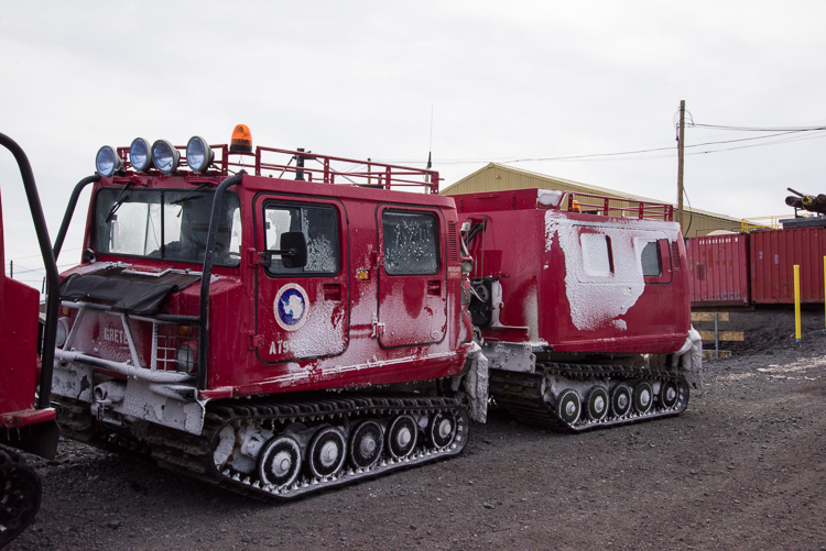
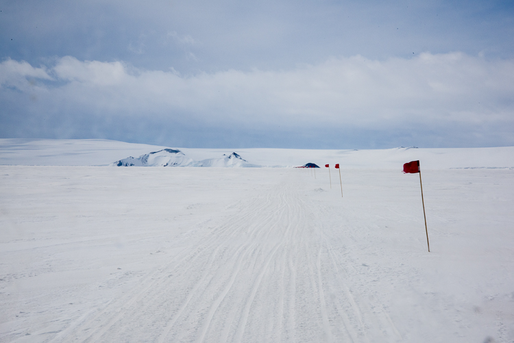

Before joining Sam Bowser’s camp beside the sea ice at New Harbor, which is the first field camp I plan to visit, in addition to the prior day’s trainings, sea ice training was required. That involves learning to recognize and measure cracks in the ice, so you know if it is safe to cross with a snowmobile or a heavier vehicle such as a Haagland, a tractor used to transport materials to field camps. My logistics coordinator arranged for me to get the training by assisting Ben, one of the mountaineers, who measures the thickness of the sea ice in the Ross Sea weekly until it breaks up sometime in January and floats away. He had also been tasked with going to Turtle Rock, an island that is iced in, because a seal study wanted to cross an area that has begun to crack nearby, and they wanted to know where it would be safe to drive a Haagland or a larger and heavier vehicle called a Challenger. So my training ended up not just being an academic exercise but actually assisting with gathering information needed by the science program. We were out for about 3 hours.
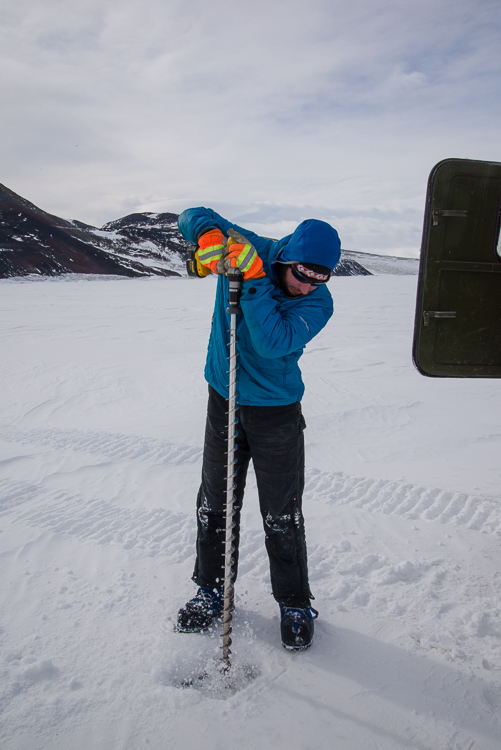
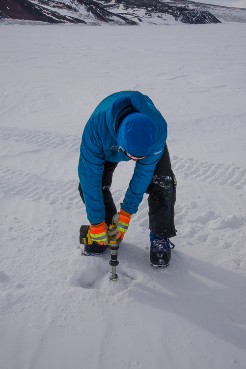
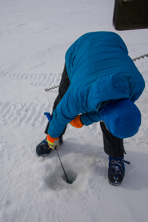
I took some pictures of Ben checking the thickness at one the sites he measures weekly, a feature known as Big John’s Crack (see above). First we shoveled the snow away from a small area. Then he attached a long bit to the drill (actually the one he was using in those photos is two bits hooked together), and drilled a hole. When water comes gushing up the hole, you know you’ve drilled through the ice. Then you lower a tape measure through the ice that has a collapsible brass bar at the end. You reel the bar up and it catches against the underside of the ice. Then you look at the measurement. All three places he monitored that day were very close in measurement — 237 cm or 240 cm each. That tells you the sea ice is very uniform in its thickness, which surprised me because the monitoring spots were so far apart there was a lot of driving between them.
The thickness of the ice below the cracks near Turtle Rock were not nearly as thick. Some were more than 140 cm, which is more than enough for the heavy vehicles, but a few were not, so we knew which areas the vehicles would have to avoid.
At Turtle Rock, I saw my first Weddell seals which was very exciting! They were lined up along a long crack that paralleled the shoreline, just lying still. Every once in a while, one would raise its head when we passed, but most of them just lay there. Seals are a good indicator of where the deepest cracks and therefore the thinnest ice is, because they chew holes through the ice to come in and out of the water, and they don’t want to work any harder than they have to. As we drove along in the Haagland and I looked at the seals I found myself amazed to be there.